
A canal walk through the Urban Heritage Park of Castlefield Basin
 |
This 1.5km circular walk starts at Deansgate Castlefield Metrolink station and takes you by the Rochdale canal, the Castlefield Bowl and Liverpool Road station, the first passenger rail service in the world. It returns over the Bridgewater canal.
The walk is mostly traffic free but includes steps and some cobbled streets.
 |
| The walk around Castlefield Bowl (Google My Maps) |
From Deansgate Castlefield Metrolink station follow the exit sign marked "Way Out to Deansgate Castlefield and main line station".
Cross the bridge in front of you towards Deansgate Station. You can see the Rochdale canal on your right and a street sign for Deansgate. Just before you enter the station building there is a set of stairs on your left. Walk down these stairs and then the ramp to take you to ground level.
Turn left and cross Deansgate.
Walk on Castle Street to the left of the Rochdale canal until you walk under an old railway bridge and immediately turn right down a ramp (A) which takes you to the towpath.
 |
| Entrance to ramp on Rochdale Canal |
Turn left at the bottom of the ramp and follow the canal into Castlefield.
The towpath eventually rises up a ramp from the canal and onto a cobbled road opposite lock 92 and the Lock Keeper's cottage. This is known as Duke's lock and it is here that the Rochdale canal meets the Bridgwater canal. Turn right and cross over the canal bridge. Don't rejoin the towpath at this point.
Walk on following the cobbled street and under the arches of a brick viaduct, a taller brick viaduct that carries the Metrolink then the huge metal columns of a disused viaduct. This area is sometimes used as a film set.
 |
| Metal viaduct and temporary film set. |
Walk on in the same direction and through the open space and then through to the arches of another brick viaduct.
The area opens out into Castlefield Bowl (B).
 |
| Castlefield Bowl |
Carry on walking in front of the arena and climb up steps by the Castlefield hotel.
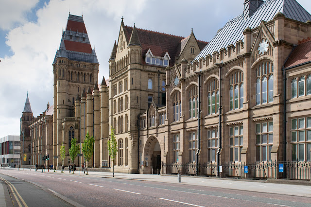
This brings you into Liverpool Road and if you look left you will see a sign for the 1830 station (C). This was the first passenger railway station in the world.
The front was designed to look like a Georgian terrace. A sundial above the first class entrance may have been used to set the local time. This building is part of the Science and Industry Museum.
 |
| Liverpool Road Station, Manchester |
Retrace your steps under the four viaducts but when you pass under the last set of brick arches turn immediately right in front of a bar and walk over Merchants Bridge (D) crossing the Bridgewater canal.
 |
| Merchant's Bridge |
You will see Merchant's Warehouse on the opposite side of the canal. Carry on walking down the long ramp and join the path.
 |
| Merchant's Warehouse |
Walk in front of the Wharf pub then turn left to cross over the wooden lift bridge (E) in front of Hits Radio. Walk by the canal wharf.
 |
| Hits Radio, Castlefield |
Walk down the side of this canal as it curves left then walk over the metal bridge on your left.
 |
| Bridge over the canal wharf |
Once you're on the other side take the stone footsteps to your left and then walk across an open area to climb a metal staircase on your right. At the top of the staircase you're back on Castle Street and opposite the ramp where you first went down to the canal. Turn right down Castle Street and back to Deansgate Castlefield Metrolink station..
The History of Castlefield
The map below shows an overview of the area surrounding the Castlefield walk.
In 1734 small boats from Liverpool sailed up the Mersey and Irwell navigation as far as Water Street at the top of the map although this was not a reliable route. The Mersey and Irwell navigation was the precursor of the Manchester Ship canal and followed the existing watercourse of two rivers. It included a number of locks allowing ships to travel inland.
The Bridgewater canal was built in 1761 to transport coal from mines at Worsley in the west, to central Manchester. The price of coal halved and this area industrialised as brick and lime kilns were built at Castlefield.
In 1776 an extension of the Bridgewater canal was made to Runcorn allowing freight to travel inland from the River Mersey estuary.
The Bridgewater canal on the west of the map was the first canal that didn't follow an existing watercourse. It opened the way for the golden era of canals in the country from 1760-1830. It connects with the River Irwell at Cornbrook.
The Rochdale canal opened in 1804 starting in Castlefield at the Bridgewater canal. It travelled inland and over the Pennine hills. It runs east on the map. This canal passed through Ancoats and led to the development of a massive factory complex. You can read more about Ancoats here
The Manchester and Liverpool railway line opened in 1830 to deal with freight and people linked to the booming cotton industry. This was the first passenger train service in the world and started a massive expansion of the rail system and decline in canal construction. A number of branch line viaducts carried trains over the Castlefield area making this an impressive mixture of historic canals, rail links and warehouses.
 |
| Overview of the Castlefield area (Google My Maps) |

This post is really awesome. Genuinely i like this blog. It gives me more useful information. I hope you share lots of things with us .metal barns san antonio
ReplyDeleteThanks for your positive comments.
Delete