Google Maps for walking
When you're walking, three of the most useful features on Google Maps are Live View , which points you in the direction you need to walk, Location Sharing , which lets you share your moving location and Popular Times , which shows you how busy a place is at the current time.
Live View
 |
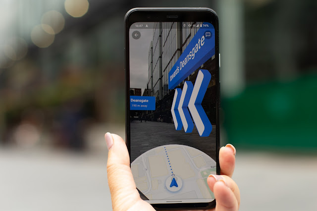
| Live View. The Avenue, Spinningfields walking towards Deansgate. |
Live View shows you which direction to walk. Enter your destination, select a walking route and tap Live View at the bottom of the screen. Hold your phone up and move it around to scan the buildings in the area and calculate exactly where you are. The display will point you in the direction to walk while showing you an augmented reality image from your phone camera.
Live view struggles to work where street view is poorly mapped. You'll find that pedestrianised areas might not have been recorded by Google and you may need to move to somewhere with traffic .
Share location
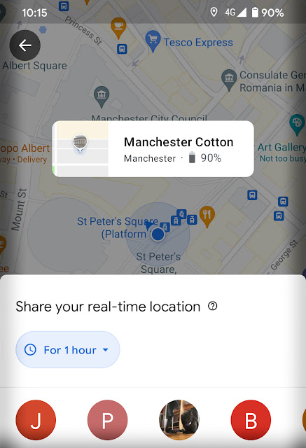
If you're meeting someone, Share Location allows you to see each others location. Press on the symbol for my location then press on the blue dot. You'll see options for length of time and sharing options.
 |
| Location Sharing from St Peter's Square. |
Popular times
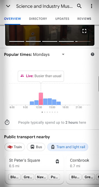
If you'r planning to visit a destination on Google Maps, tap on it and you'll find lots of information including how busy the location is at the time you're viewing it. It's presented as a bar chart with the current time highlighted.
 |
| Popular times at the Science and Industry Museum |


Comments
Post a Comment