A walk around New Islington and Ancoats
 |
This walk takes you through the modern living spaces of New Islington Marina, an area still undergoing regeneration.
The marina leads to Ancoats, an area dominated by historic brick mills from Manchester’s industrial past. These have recently been converted into sought after living space.
The walk is just over two kilometres, however there is plenty to explore in both areas and there are waterside cafes and bars along the way.
 |
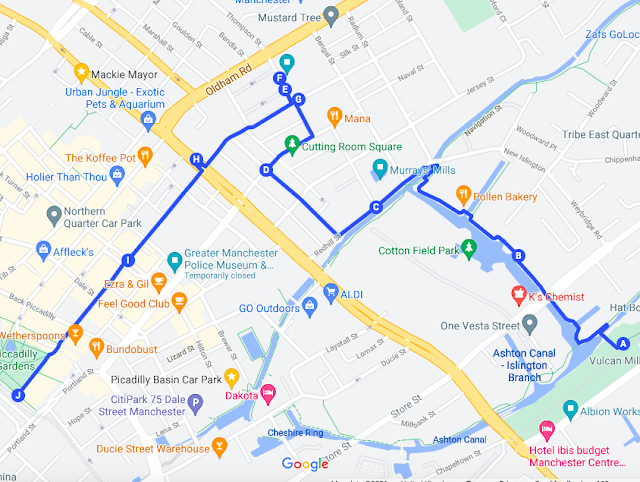
| Route through New Islington and Ancoats. (Google Maps) |
From Manchester take the Metrolink tram in the direction of Ashton. Leave the tram at New Islington (A) and walk towards the Chips building across the Ashton Canal.
Turn left in front of the Chips building. This building is covered in newsprint, a nod to the history of this area.
 |
| Chips building. Walk down the path, turn left and then right |
Pass in front of the building and turn right before the lift bridge. Walk through and explore Islington Marina (B).
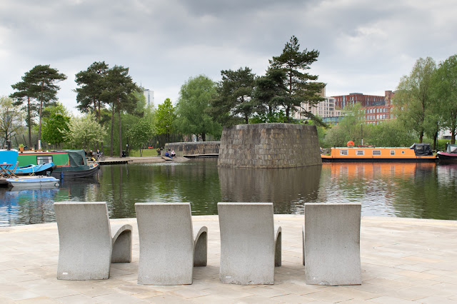
The marina has waterside bars and restaurants and on a warm day is a perfect place to leave the city centre and relax. Cotton Field Park is on the opposite side of the marina.
 |
| New Islington Marina |
To get to Ancoats cross the Rochdale canal at the end of the marina and take a left down Redhill Street in front of Murray's Mills (C) and then right into Henry Street, or make your own way through the mill streets where there are more cafes and bars.
Walk down Henry Street (D). Turn right at the Edinburgh Castle pub and this road opens up into Cutting Room Square. This is a large open square which includes Halle St Peter's, the rehearsal venue for the Halle Orchestra.
The Ice Plant building, so called because it had an ice-making plant, was used for the storage of chilled goods. It was also a distribution centre for the ice-cream barrows that operated in this area in the nineteenth century.
 |
| Cutting Room Square with diners outside the Ice Plant |
Leave Cutting Room Square by Sherratt Street , opposite the Halle St Peter’s building. Walk down Sherratt Street (E) and you will reach Anita Street (F) on your left.
 |
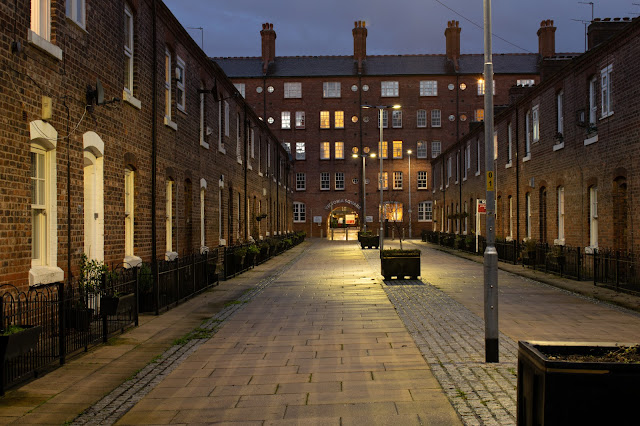
| Anita Street |
The streets in this area were the first municipal houses in Manchester. They were built to replace back to back terraced houses.
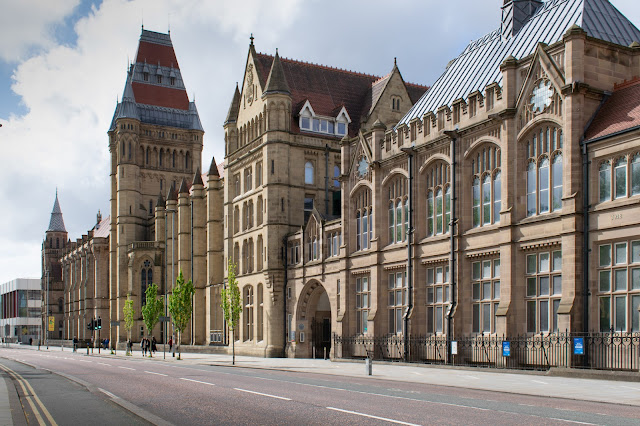
The Art Deco Express building is on Great Ancoats Street a few minutes walk from Anita Street. Walk back to the George Leigh Street (G) where you can see the Express Building (H) and walk towards it.
 |
| The Express Building |
Make your way down Lever Street (I) on the opposite side of the main road to finish the walk by rejoining the Metrolink system at Piccadilly Gardens (J) or extend the walk and explore the Northern Quarter as you pass through on Lever Street.
There's detailed information in the link Ancoats conservation area if you want to know more about the mills. They formed the first industrial complex in the world.


I always check these types of advisory post and I found your article. This is a great source to increase knowledge. Thanks for sharing an article like this. send some blog for pedestrian bridges
ReplyDelete